
Trace a Kettering Street Address
Public records do not make a roster for a whole Kettering road. They provide a series of address and parcel records. The most reliable first pass is the Montgomery County Auditor property search. It identifies a matching parcel and its property location, owner information, mailing address, legal description, tax details, and, where available, the latest sale or deed reference. That gives the address search a stable land record before a name is taken to another system.
- Enter the street number when known and the street name in the Auditor search. Select the matching parcel rather than relying on a similar street result.
- Keep the parcel ID, property location, legal description, owner field, mailing field, selected tax year, and any current deed reference.
- Open the Auditor GIS resources to orient the parcel on its street and compare the surrounding parcel geometry.
- Use the legal description, current deed reference, or a named party in Recorder RISS to inspect the recorded-document trail for that parcel.
- For historic occupants, ask the Dayton Room for the relevant dated street or cross-reference directory, then corroborate the entry with the correct year and address.
The sequence is deliberately modest. A current owner is not automatically a current resident, and a directory entry is evidence for its own volume date, not every year before or after it.
Kettering Street Directory Search Rules
The Auditor's address form has a rule that changes many Kettering searches: put direction and suffix out of the Street Name field. The number is optional, while the practical search key is the street name. The portal supports an asterisk wildcard, and the county's own walkthrough suggests trying variants such as 3rd and Third. A corridor with many matches has to be reviewed in pages, so sort by Parcel Location when the goal is to move along one road.
| Auditor field | Use on a street search | Local behavior |
|---|---|---|
| Number | Optional address number | Use it to narrow a known property. |
| Street Name | Main street field | Leave off direction and suffix; * is supported. |
| Tax Year | Parcel/tax period | Choose Any or a displayed year from 1980 through the current range. |
| Sort | Order matching parcels | Parcel ID, Owner, or Parcel Location, ascending or descending. |
| Results per page | Review a longer street | 10, 15, 20, or 25 results per page. |
Insider tip. The address form and the owner form ask for different inputs. The owner form expects LastName FirstName, while an address search needs the bare street name. Switching form and search terms is often more productive than adding guesses to one query.
Kettering Parcel Fields by Address
Three labels on a property result should stay separate. The situs or property location is the physical parcel address. The owner mailing address is tax correspondence information and may be elsewhere. The legal description identifies the recorded lot, subdivision, tract, or other land geography. It is the field that lets an address search continue into title and archive records even when a modern street label is not enough.
- Parcel
- A county land unit with an identifying number. It anchors the property search and map.
- Situs address
- The physical location attached to the parcel, not proof that a named person currently lives there.
- Plat
- A recorded map or subdivision plan that helps connect a lot to its legal description.
- Criss-cross directory
- An address or street section of a dated directory that may list entries at a location for that edition.
That distinction matters across a Kettering address search. A mailing result can support a correspondence fact. It cannot turn a parcel card into a household list.
Kettering City Records by Street
Access Kettering adds a municipal layer after the parcel is known. Its public Property Information search accepts Address, Owner, or Permit Information. The address form includes street number, direction, street name, street type, city, state, and ZIP. Its property-maintenance search can also be narrowed with record number or type, start and end dates, street-number range, unit, and street components. Public research does not require an account; submitting a new application does.
A permit, engineering record, or property-maintenance result can place city activity at an address and date. It may identify information contained in that particular record. It does not establish that a project was completed or identify everyone who lived at the address. Request a defined record and date range if an online result indicates that a city file exists but does not show the material needed.
The Access Kettering Property Information search is the source for the address, owner, permit, and ZIP-field route described here.
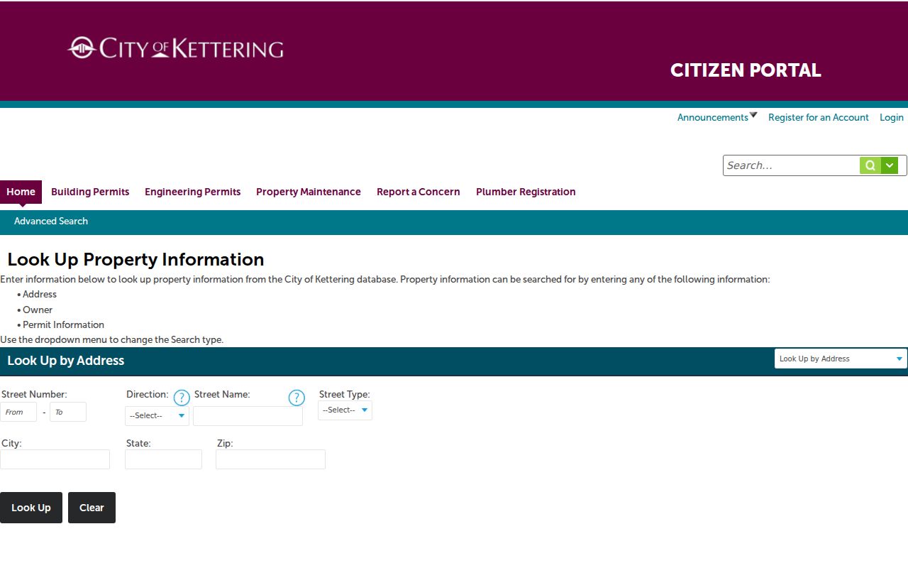
The city search is best read as an address-record route alongside the county parcel trail, not as a resident list.
Kettering Street Records at a Glance
Each source uses an address differently. Start with the Auditor for the parcel and legal description, use GIS for spatial orientation, and move to the Recorder for recorded instruments. The election and library sources have narrower, dated roles. This mix is why a careful by-street search records its source and date beside every finding.
| Address source | What it contributes along a street | Access and limit |
|---|---|---|
| Auditor parcel search | Parcel location, owner and mailing fields, legal description, tax and sale route | Free portal; owner and mailing data do not prove occupancy. |
| Auditor GIS | Parcel geometry and nearby lot boundaries | Map orientation; confirm names in the parcel or Recorder record. |
| Recorder RISS | Recorded parties, document trail, date, instrument or book/page paths | Guest access after disclaimer; historic fields and images vary. |
| Access Kettering | Permit, engineering, and property-maintenance record leads | Public research without log-in; not a household roster. |
| Voter and directory sources | Named voter record or dated historical street entry | Name-led or volume-specific; neither is a current street roster. |
Property research can be verified at the Auditor owner-search portal when a parcel result supplies a name. The original address and legal description should remain in the research notes so a matching name does not become the only link between records.
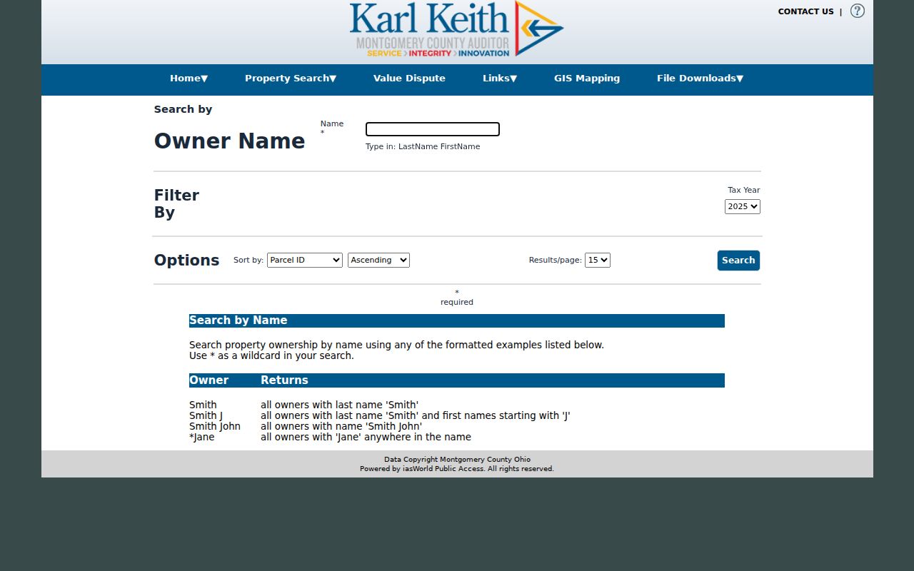
The owner search is a confirmation route after a street-address result, with the county's required name format rather than a substitute for the address search.
Kettering Street Deed Trail
RISS, the Recorder's Information Search System, follows recorded documents rather than a street's complete population. Enter through the guest route after accepting its disclaimer. Its navigation includes By Name, By Type, By Municipality, By Subdivision, By STR, By Instrument, By Book/Page, By Fiche, By Pre 1980, By Date, Certified Dates, and Search Veterans Graves. For a particular parcel, the legal description and current deed reference are safer starting points than a street-text search.
On the By Name form, Last/Firm Name is required. First Name is optional; match modes are Begins With, Contains, and Exactly. The Side choices appear as Both, One, and Two, so record those labels as returned rather than expanding them beyond the portal's wording. The required Index Type list begins with Deeds, Mortgages, Partnerships, UCC, and Service Discharge. Date ranges and sort choices can narrow a result. The separate Pre-1980 route signals a historical path, not a universal online start date.
Recorder copies and fax copies cost $2 per page. A certified copy costs $2 per page plus $1 certification. The Recorder is at 451 W. Third Street, fifth floor, Dayton, with published weekday hours of 8 a.m. to 4 p.m. and phone 937-225-4275. Those counter and copy channels matter when a result needs inspection or certification.
Kettering Street Parcels on GIS
The county GIS is useful for seeing parcel shape and the way lots meet a street. It is not documented as a street-roster or owner-proof tool. Locate the parcel, inspect the visible parcel polygons for the chosen street segment, then take each address or parcel ID back to the Auditor search. Compare legal descriptions before treating nearby results as part of the same platted area. The county also warns that its GIS information is not warranted error-free.
Once the legal description is established, the county home-and-property method points to GIS documents and City Abstract Books. Choose the Abstract Book City volume that covers the lot range and inspect seller, buyer, deed-book, mortgage-book, and page references. This route is particularly useful when a Kettering street search turns into a history of one lot rather than a listing of people.
Note: For a full immediate-block parcel method, use the separate Kettering neighbors page rather than extending a whole-street search into a claimed radius.
Kettering Street Postal Checks
A street name and a postal label can point in different directions near Kettering's edges. Seven standard ZIPs intersect the city: 45409, 45419, 45420, 45429, 45432, 45439, and 45440. Several are shared with Dayton, Oakwood, Moraine, or Centerville-side delivery geography. A Dayton mailing line can still describe a Kettering location, so a by-street search should compare the full number and the parcel rather than discard a result because its postal city looks unfamiliar.
The check becomes more important to the east and southeast, where Kettering overlaps Greene County. Confirm the parcel's jurisdiction before choosing a county Auditor, Recorder, election office, or tax repository. USPS can validate mailing format, but it does not establish a municipal boundary or identify a current occupant. The parcel record supplies the property location and legal description that connect the street to the appropriate local record path.
Kettering Street History Labels
Older street evidence may be cataloged under a different local label. The area was part of Van Buren Township in 1841, incorporated as the Village of Kettering in 1952, and became a city in 1955, with its charter effective in 1956. Pre-city material can therefore appear under Van Buren Township, Dayton suburban, or Montgomery County rather than a current Kettering heading. No verified citywide street-renumbering date was found, so a search should preserve the street form shown in its dated source instead of inventing a conversion.
The Dayton Room at Dayton Metro Library is the local route for directories, newspapers, Sanborn maps, obituary resources, and historical help. Ask for the exact year and area, then consult the volume's own abbreviation key. The Kettering-oriented directory titles documented in the research are 1958 and 1959, while Dayton Suburban runs include Kettering at least in 1956-57, 1957-58, and 1958-59. Confirm later holdings with staff rather than assuming a continuous run.
Kettering Street Directory Limits
A street address does not make a complete people list. Land records normally identify owners and recorded parties, not every resident, guest, child, or other household member. Utility, delivery, medical, school, and motor-vehicle customer records are not an open Kettering street directory. A current mailing address can differ from the property situs. Historical directories can omit people, abbreviate names, or use a prior address.
Ohio's statewide voter search is also name-led. It requires first name, last name, and county, may offer a street choice only after a match, and does not provide a public street-browse function. For most Kettering addresses select Montgomery County, but verify the exact address near the Greene County overlap. Safe at Home participant records are confidential, and ballot choices are never public.
The Access Kettering property-maintenance search is an address-based city record route, with record number/type, date, street-number range, unit, and street fields.
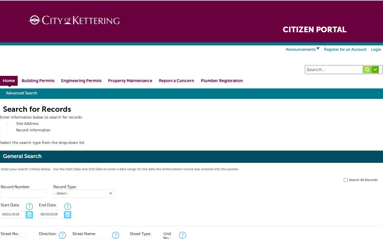
An address-based enforcement screen can identify a city-record path, but it cannot resolve the privacy limits that apply to household information.
Lawful use. Kettering street and address records support personal property research, family history, civic questions, and record verification. Do not use them to watch, contact, harass, intimidate, or try to locate a protected person.